Catalog Archive
Auction 105, Lot 205
"Kaart van het Land van Frogs Point tot de Cotton Rivier…", Marshall, John
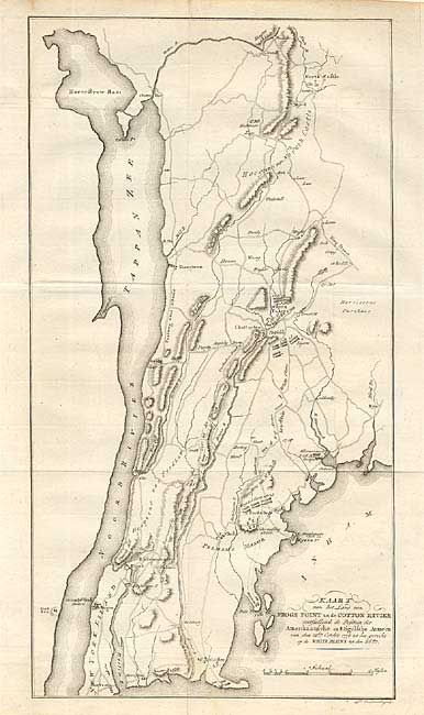
Subject: New York
Period: 1809 (circa)
Publication: Het Leven van George Washington…
Color: Black & White
Size:
8.9 x 16.2 inches
22.6 x 41.1 cm
Download High Resolution Image
(or just click on image to launch the Zoom viewer)
(or just click on image to launch the Zoom viewer)