Catalog Archive
Auction 105, Lot 191

"Map of the City of Detroit", Robinson, E.
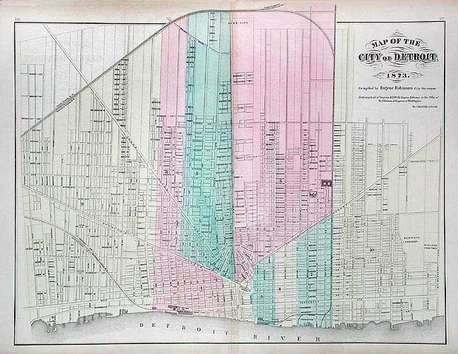
Subject: Detroit

Period: 1873 (dated)

Publication: Atlas of the State of Michigan

Color: Hand Color

Size:
20.7 x 16.5 inches
52.6 x 41.9 cm
Download High Resolution Image
(or just click on image to launch the Zoom viewer)

Attractive double-page map of the Motor City (before motors). Colored by wards, of which there were 10 in 1873. Excellent details including street names, railroad data and many public buildings noted. Map was compiled by Eugene Robinson, City Surveyor and published by Walling, Tackabury & Co.

References:

Condition: A+

Good impression with original coloring. Margins lightly toned.

Estimate: $90 - $110

Sold for: $75

Closed on 12/3/2003

Archived