Subject: Southwestern United States
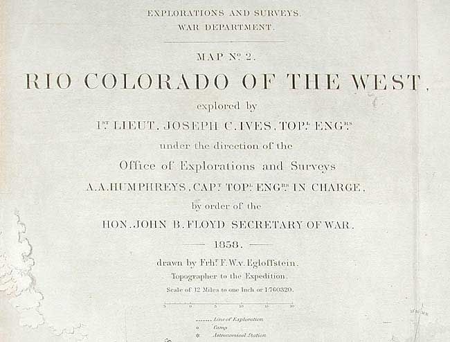
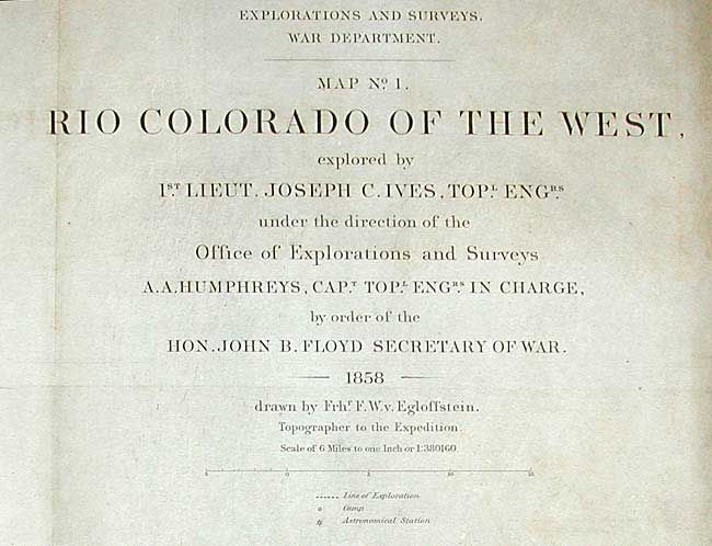
Period: 1858 (dated)
Publication: Exploration and Surveys War Dept.
Color: Black & White
Size:
37.5 x 14.5 inches
95.3 x 36.8 cm
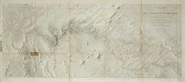
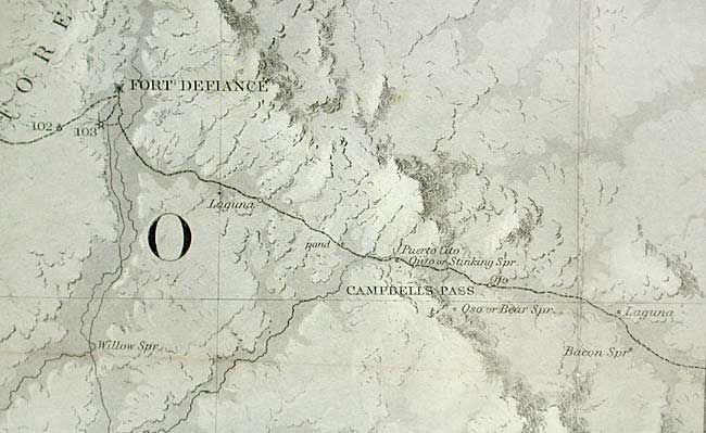
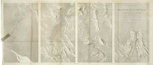
This pair represents one of the most important exploring efforts of the American Southwest. Map No. 1 shows the lower Colorado River in four panels, beginning at the Gulf and ending in Black Canon at Fortification Rock. Map No. 2 depicts the "Big Canon of the Colorado" and covers from Fort Defiance, Campbell's Pass and Zuni in the east through Los Vegas and Mojave Canyon in the west. Several important exploration routes & trails are shown including The Old Spanish Trail, and those of Whipple (1854) and Beal. Many notations throughout. In "Mapping of the Trans-Mississippi West" Carl Wheat devotes several pages to these two maps.
References: Wheat [TMW] 947 & 948.
Condition: B
No. 1 has a tear on left side with old tape stain, 2' into map, and two small splits at fold intersections. No. 2 has left border reinforced and an old tape stains in margin.