Subject: Western United States
Period: 1846 (circa)
Publication:
Color: Black & White
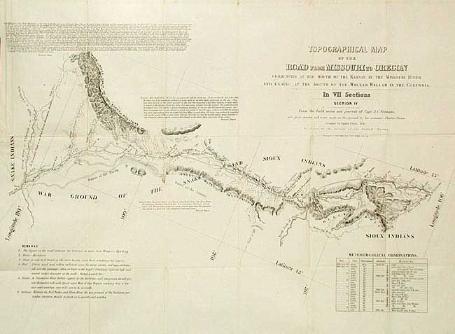
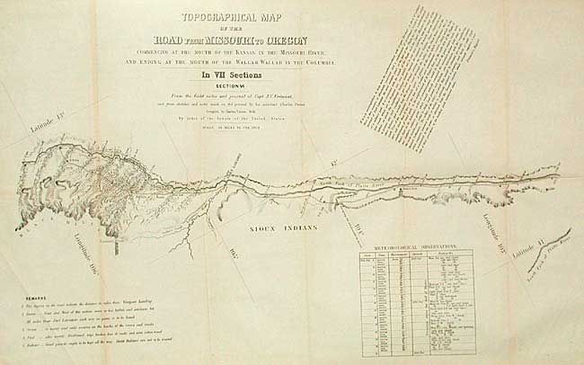
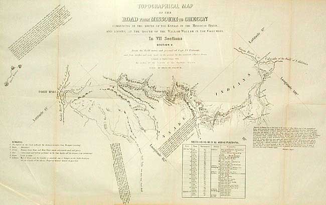
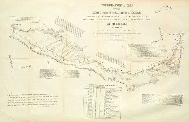
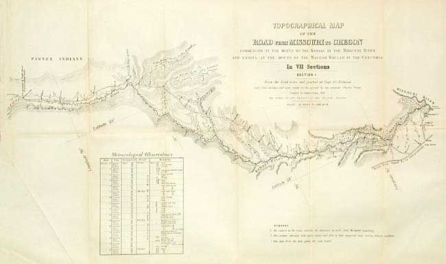
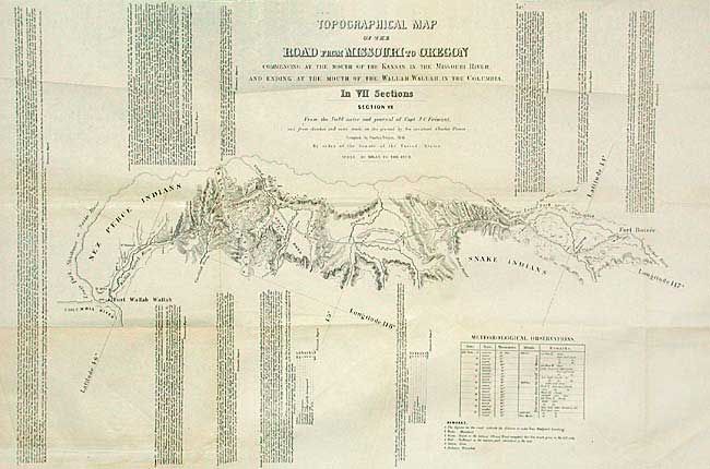
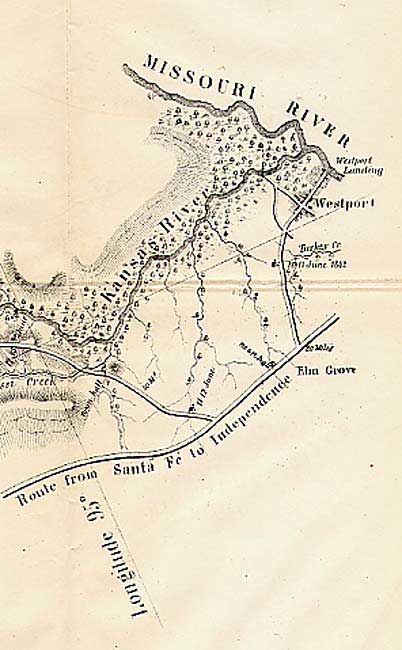
From the field notes and journals of Capt. J.C. Fremont and from sketches and field notes made on the ground by his assistant Charles Preuss. Each is section is about 26 x 16". Together the seven sheets cover the region "commencing at the Mouth of the Kansas in the Missouri River, and Ending at the Mouth of the Wallah Wallah in the Columbia," thus the Oregon Trail route. Topography is in more detail than in Fremont's parent map. Each sheet is filled with descriptive comments from Fremont's narrative, thus providing a legitimate guide for emigrants at the time. A matching and complete set of seven scarce maps that together make a cornerstone map of the American West.
References: Wheat (TMW) 523.
Condition: A
Some toning along folds on some of the maps, still very good for this series.