Catalog Archive
Auction 105, Lot 137

"A New and Accurate Map of the Province of New York and Part of the Jerseys, New England and Canada…", Bew, John

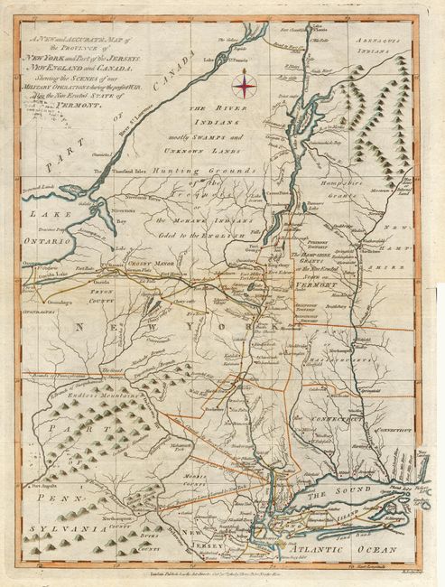
Subject: Eastern United States

Period: 1780 (dated)

Publication: Political Magazine

Color: Hand Color

Size:
11.2 x 14.6 inches
28.4 x 37.1 cm
Download High Resolution Image
(or just click on image to launch the Zoom viewer)

A detailed and interesting map showing the field of military operations during the Revolutionary War. It shows the various boundary disputes between New York and New Jersey, roads, forts, land grants and Indian territory. Vermont is labeled "The Hampshire Grants or the New Erected State of Vermont." Engraved by J. Lodge.

References: Jolly POL-14; McCorkle #780-9.

Condition: A

Later color. Bit of light toning, overall very good.

Estimate: $350 - $400

Sold for: $750

Closed on 12/3/2003

Archived