Catalog Archive
Auction 105, Lot 120

"[Lot of 3 - Canada]", Blackie, W. G. & Son
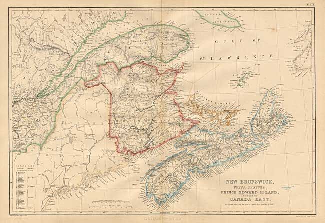
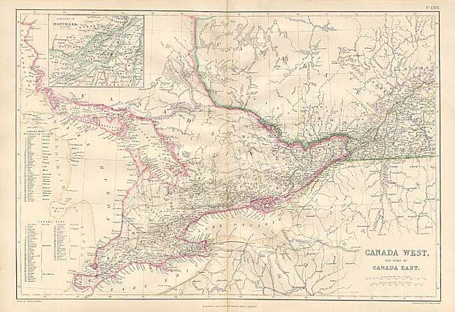
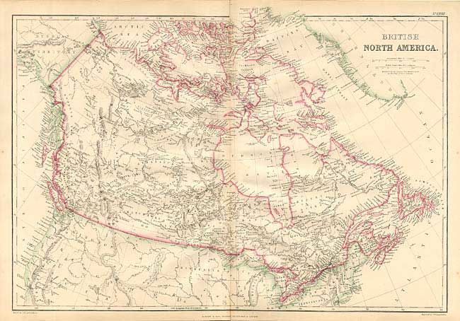
Subject: Canada

Period: 1860 (circa)

Publication: Imperial Atlas of Modern Geography

Color: Hand Color

Size:
19.5 x 13.5 inches
49.5 x 34.3 cm
Download High Resolution Image
(or just click on image to launch the Zoom viewer)

Finely engraved charts with much detail and table of counties on each. Includes 1) "British North America" 2) "Canada West, and part of Canada East" and 3) "New Brunswick, Nova Scotia, Prince Edward Island, and part of Canada East." The first chart extends to include most of the Russian Territory of Alaska, the northern United States and part of Greenland.

References:

Condition: A

Trace of offsetting on New Brunswick and Canada West, still very good.

Estimate: $140 - $160

Sold for: $80

Closed on 12/3/2003

Archived