Catalog Archive
Auction 105, Lot 116
"A New Map of the only useful and frequented part of New Found Land", Kitchin, Thomas
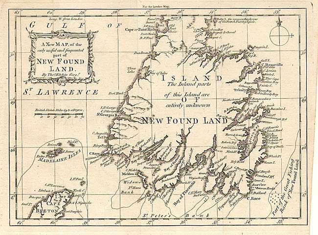
Subject: Newfoundland
Period: 1762 (published)
Publication: London Magazine
Color: Black & White
Size:
9.5 x 7 inches
24.1 x 17.8 cm
Download High Resolution Image
(or just click on image to launch the Zoom viewer)
(or just click on image to launch the Zoom viewer)