Catalog Archive
Auction 104, Lot 523
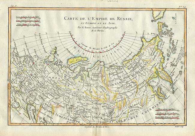
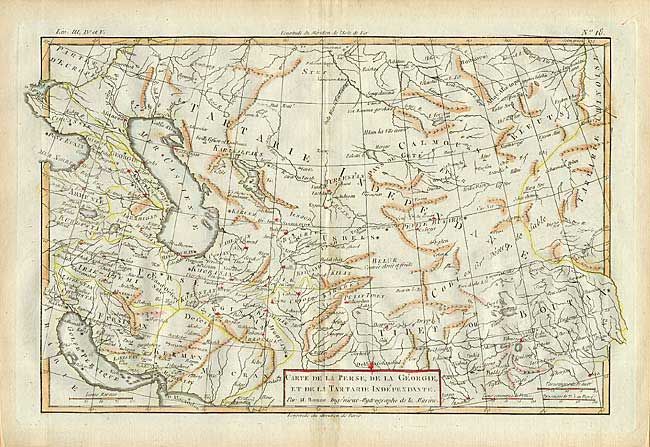
"[Lot of 2] Carte de la Perse, de la Georgie, et de la Tartarie Independante [together with] Carte de l'Empire de Russie, en Europe et en Asie", Bonne, Rigobert
Subject: Asia
Period: 1779 (circa)
Publication: Atlas de toutes les parties connues du globe terrestre
Color: Hand Color
Size:
See Description
Download High Resolution Image
(or just click on image to launch the Zoom viewer)
(or just click on image to launch the Zoom viewer)