Catalog Archive
Auction 104, Lot 428
"Lotharingiae Tabula Generalis in qua Ducatus Lotharingiae et Barri nec non Metensis, Tullensis et Verdunensis Episcopatus…", Homann, Johann Baptist
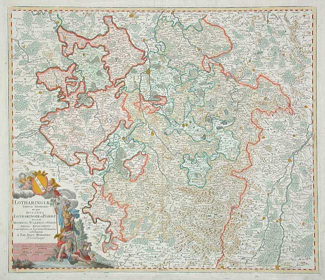
Subject: France
Period: 1720 (circa)
Publication:
Color: Hand Color
Size:
22.4 x 19.2 inches
56.9 x 48.8 cm
Download High Resolution Image
(or just click on image to launch the Zoom viewer)
(or just click on image to launch the Zoom viewer)