Catalog Archive
Auction 104, Lot 375

"[Lot of 4] Carte de l'Empire d' Allemagne avec les Etats de Boheme. Dressee…", Rizzi-Zannoni, Giovanni Antonio

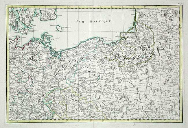
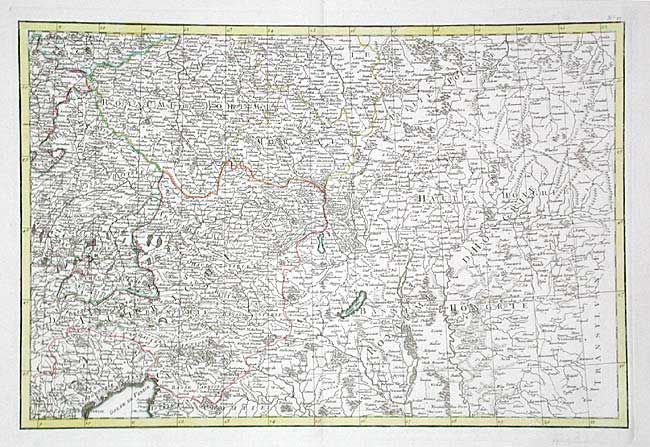
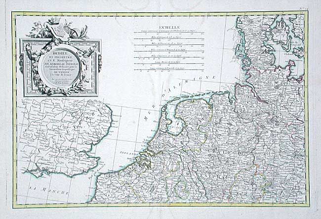
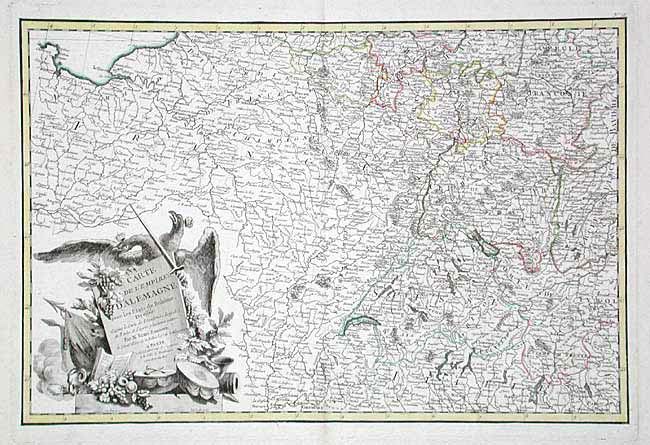
Subject: Central Europe

Period: 1760 (circa)

Publication: Atlas Moderne, Lattre

Color: Hand Color

Size:
18 x 12 inches
45.7 x 30.5 cm
Download High Resolution Image
(or just click on image to launch the Zoom viewer)

Matched set of four detailed maps (unjoined) of the German Empire. Extends to cover western Europe from Holland south to Lake Geneva and Grenoble, east to Venice and beyond into Hungary and north to Konigsberg and Memel. Includes part of England, Denmark, Sweden and the Baltic. Decorative cartouche and large dedication cartouche.

References:

Condition: A

Original color on fine, thick hand laid paper with watermark and wide margins. One sheet has a line of staining, likely from a pressed flower. The rest are very good to fine.

Estimate: $400 - $500

Sold for: $400

Closed on 9/10/2003

Archived