Catalog Archive
Auction 104, Lot 370
"The North Sea with The Kattegat From The Chart of Messrs de Verdun, de Borda, and Pingre made public in 1777…", Faden, William
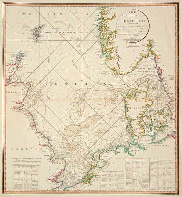
Subject: Northern Europe
Period: 1796 (dated)
Publication:
Color: Hand Color
Size:
23.7 x 25.7 inches
60.2 x 65.3 cm
Download High Resolution Image
(or just click on image to launch the Zoom viewer)
(or just click on image to launch the Zoom viewer)