Catalog Archive
Auction 104, Lot 344
"Le Royaume d'Angleterre, distingue en ses Provinces; scavoir en Northumberland, Mercie, East-Angles, Essex, Kent, Sussex, West-Sex, et la Principaute de Galles", Jaillot, Alexis-Hubert
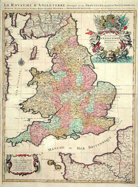
Subject: England & Wales
Period: 1693 (dated)
Publication: Atlas nouveau
Color: Hand Color
Size:
23 x 29.7 inches
58.4 x 75.4 cm
Download High Resolution Image
(or just click on image to launch the Zoom viewer)
(or just click on image to launch the Zoom viewer)