Catalog Archive
Auction 104, Lot 329

"Insularum Britannicarum Acurata Delineatio ex Geographicis Conatibus Abrahami Ortelii", Jansson, Jan
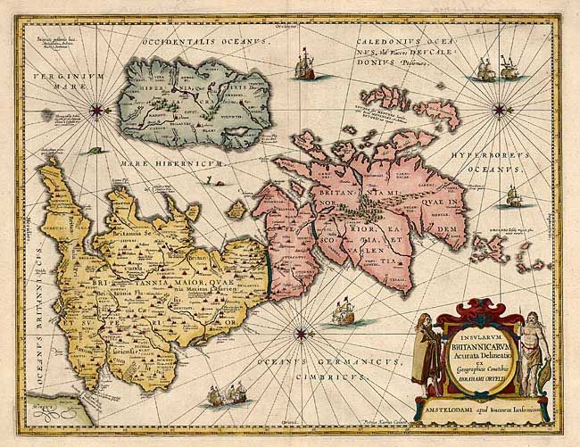
Subject: Britain

Period: 1657 (published)

Publication: Accuratissima Orbis Antiqui Delineatio

Color: Hand Color

Size:
20.3 x 15.5 inches
51.6 x 39.4 cm
Download High Resolution Image
(or just click on image to launch the Zoom viewer)

Very lovely map filled with ships, sea monsters, rhumb lines, and compass roses. This is Jansson's historical map of the British Isles after Abraham Ortelius and engraved by Peter van den Keere. North is oriented to the right. Good detail of major cities, rivers, etc. Hadrian's wall stands as a major feature. The map is further embellished with a large and decorative title cartouche featuring ancient Britons at the sides.

References: Van der Krogt (Atlantes) 5000H:1A.

Condition: A+

Estimate: $500 - $600

Sold for: $425

Closed on 9/10/2003

Archived