Catalog Archive
Auction 104, Lot 319

"Carte de l'Ocean Occidental et Partie de l'Amerique Septentrionale…", Bellin, Jacques Nicolas

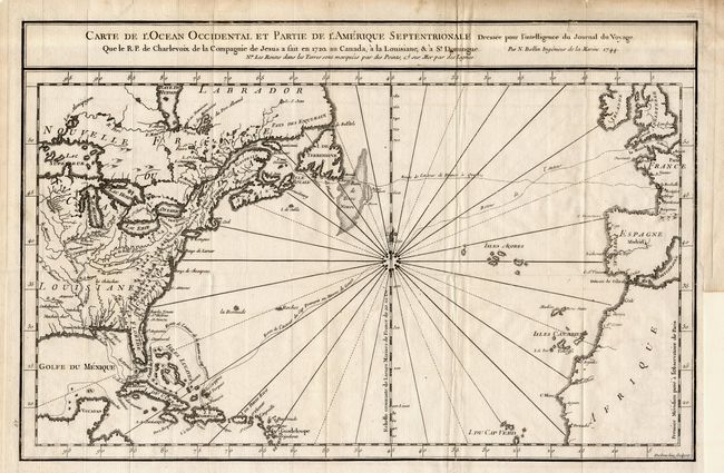
Subject: North Atlantic

Period: 1744 (dated)

Publication:

Color: Black & White

Size:
14.7 x 9.7 inches
37.3 x 24.6 cm
Download High Resolution Image
(or just click on image to launch the Zoom viewer)

Attractive chart of the Atlantic, from about 15° North latitude, delineated with rhumb lines and a most unusual 32-point compass rose. A good portion of Europe and Africa are shown with only a few coastal place names. Most of the settled parts of North America are mapped with interior topography and the British colonies and French Louisiane are both delineated. Several French sea routes are shown. The map is based on information from the 1720 journal of Charlevoix.

References:

Condition: B

Folding as issued with a trace of offsetting, else very good. Binder's tear and a fold separation both just touching neatline. Few other minor marginal defects.

Estimate: $220 - $275

Unsold

Closed on 9/10/2003

Archived