Catalog Archive
Auction 104, Lot 312
"Carte du Perou, avec une Partie des Pays qui en Sont a l'Est", Bonne, Rigobert
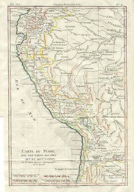
Subject: Western South America
Period: 1779 (circa)
Publication: Atlas de toutes les parties connues du globe terrestre
Color: Hand Color
Size:
8.5 x 12.6 inches
21.6 x 32 cm
Download High Resolution Image
(or just click on image to launch the Zoom viewer)
(or just click on image to launch the Zoom viewer)