Catalog Archive
Auction 104, Lot 289

"Nouvelle Carte de la Mer Pacifique ou Mer du Sud", Bellin, Jacques Nicolas

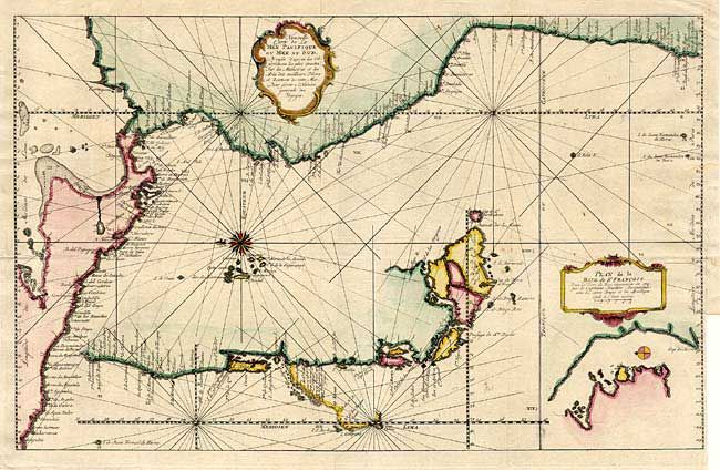
Subject: Central and South America

Period: 1750 (circa)

Publication:

Color: Hand Color

Size:
20.7 x 13 inches
52.6 x 33 cm
Download High Resolution Image
(or just click on image to launch the Zoom viewer)

A very unusual map that despite the title depicts the Pacific coastline from Acapulco to Tierra del Fuego and the Galapagos Islands. The southern part is disembodied and placed into the middle of the map in a partial inset and a smaller inset shows the Bay of St. Francois near Cape Horn. It is decorated with two cartouches and compass roses and crossed with a web of rhumb lines.

References:

Condition: A

Binding side trimmed with archival tape closing a marginal tear. Couple of tiny spots, still very good.

Estimate: $220 - $275

Unsold

Closed on 9/10/2003

Archived