Catalog Archive
Auction 104, Lot 279

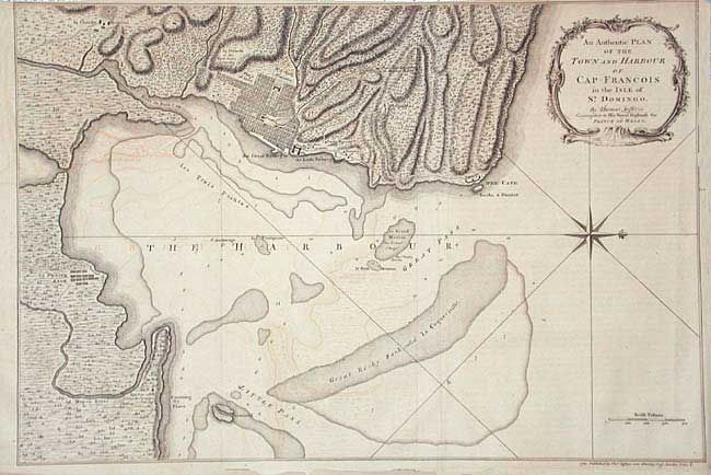
"An Authentic Plan of the Town and Harbour of Cap-Francois in the Isle of St. Domingo", Jefferys, Thomas

Subject: Hispaniola

Period: 1760 (dated)

Publication:

Color: Black & White

Size:
19 x 12.7 inches
48.3 x 32.3 cm
Download High Resolution Image
(or just click on image to launch the Zoom viewer)

Terrifically detailed map of the city and region around Santo Domingo. Locates the batteries, hospital, and more. This map was produced when Jefferys was Geographer to the Prince of Wales and just prior to becoming Geographer to King George III. Rococo-style cartouche.

References:

Condition: B

A few marginal tears or splits, two just into image, all closed on verso with archival tape. Some offsetting mostly in ocean.

Estimate: $120 - $150

Unsold

Closed on 9/10/2003

Archived