Catalog Archive
Auction 104, Lot 267
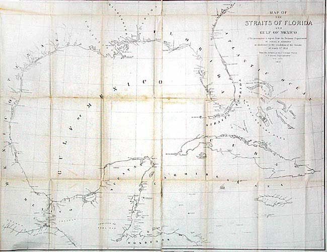
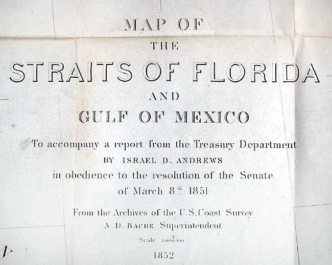
"Map of the Straits of Florida and Gulf of Mexico", Andrews, Israel D.
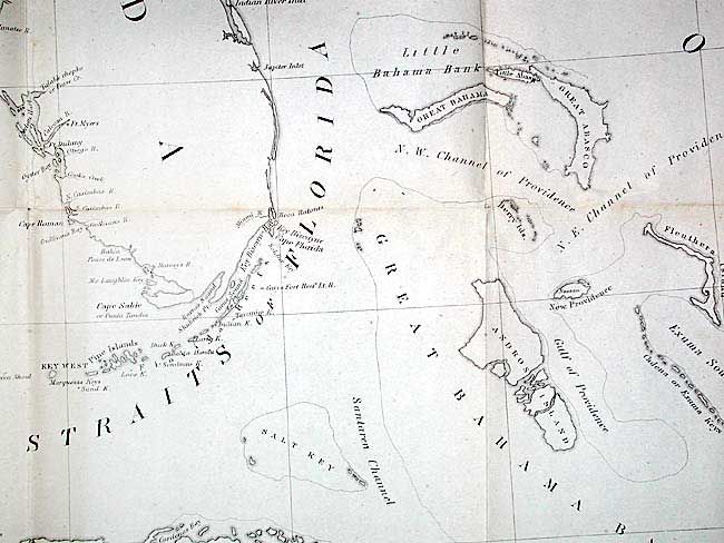

Subject: Florida and Gulf of Mexico
Period: 1852 (dated)
Publication: Communication from the Secretary of the Treasury…
Color: Black & White
Size:
34.2 x 26.2 inches
86.9 x 66.5 cm
Download High Resolution Image
(or just click on image to launch the Zoom viewer)
(or just click on image to launch the Zoom viewer)