Catalog Archive
Auction 104, Lot 225

"Barnstable Harbor Massachusetts", U.S. Coast Survey

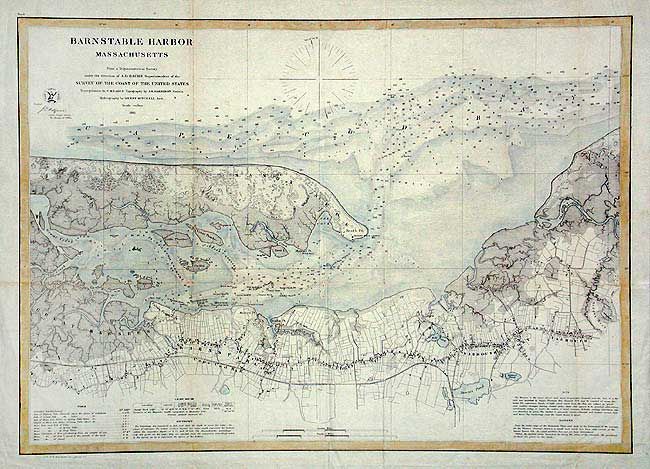
Subject: Massachusetts - Cape Cod

Period: 1861 (dated)

Publication:

Color: Hand Color

Size:
23.4 x 16.7 inches
59.4 x 42.4 cm
Download High Resolution Image
(or just click on image to launch the Zoom viewer)

Chart of the harbor and town of Barnstable, on the Cape Cod Bay side. Locates Sandy Neck and light, and the Yarmouth and Cape Cod railroads. Also the islands of Huggins, Little and Great Thatcher, and Phillis. Filled with soundings and navigational notes. Compass rose provides magnetic variation.

References:

Condition: A

Folding as issued on thin paper. Coloring is simply a pale blue wash to water areas. One tiny spot in map.

Estimate: $150 - $200

Unsold

Closed on 9/10/2003

Archived