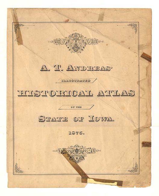
Subject: Iowa
Period: 1875 (dated)
Publication: Illustrated Historical Atlas of the State of Iowa
Color: Printed Color
Size:
14 x 17.9 inches
35.6 x 45.5 cm
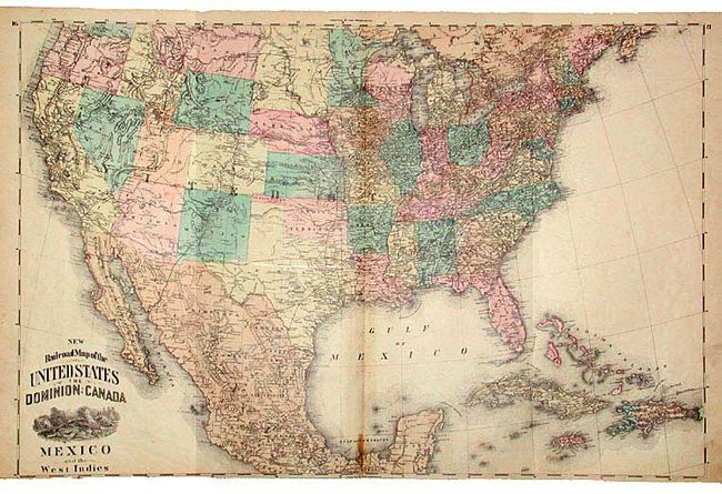
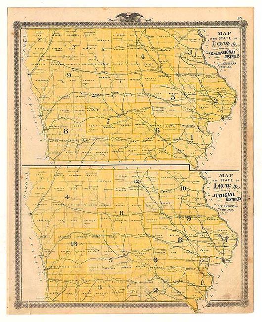
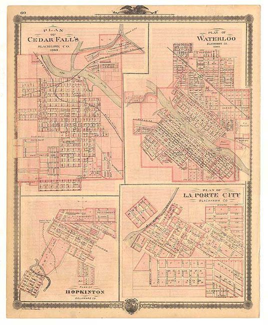
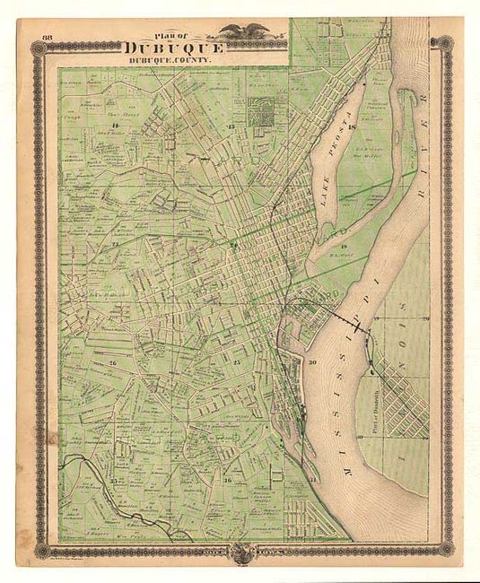
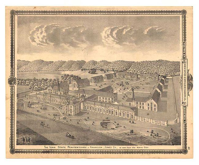
Large group of maps from this great illustrated state atlas published by one of the originators of this cartographic format. These plans provide comprehensive information on each county showing surveys, towns, landowners names, churches, farms, schools, taverns, roads, railroads, and much more. Includes five double-page maps including the map of the whole United States. Each sheet is printed both sides (some with more than one plan per side), but the count here is for one side only. As the complete atlas contained 139 maps and plans, this is a nearly complete set. Also included are 25 sheets with views of farms, businesses, homesteads, and portraits of important people, which provide an intimate portrait of the state in the 19th century.
References: Ristow, pp. 433-439.
Condition: B
Condition varies from poor to very good, with the majority good with minor faults. Six maps have disfiguring tears repaired and stained with old cello tape.