Catalog Archive
Auction 104, Lot 197

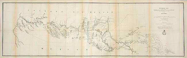
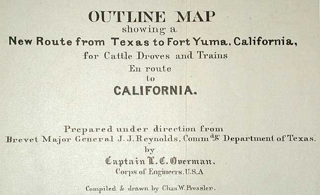
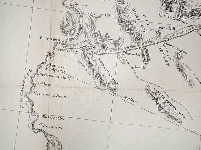
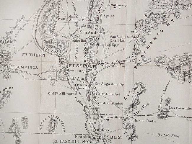
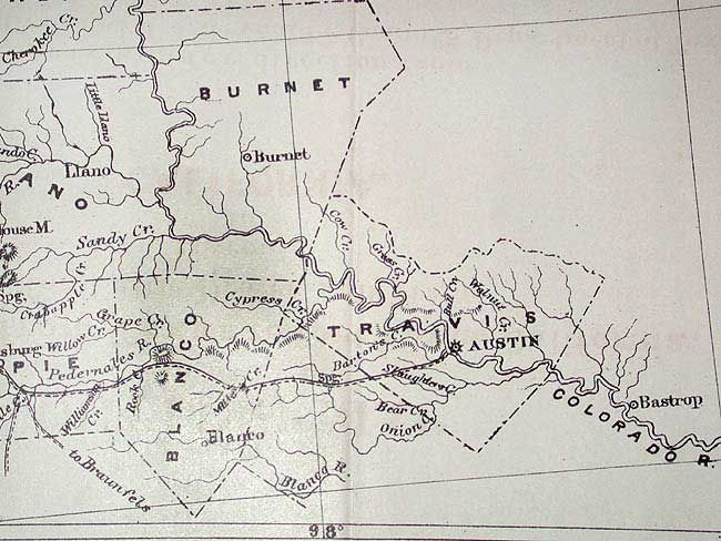
"Outline Map Showing a New Route from Texas to Fort Yuma, California, for Cattle Droves and Trains en route to California", U.S. Army

Subject: United States - Southwest

Period: 1867 (circa)

Publication: HR ex doc 1, 46th Cong. 3rd Sess.

Color: Black & White

Size:
49 x 14.5 inches
124.5 x 36.8 cm
Download High Resolution Image
(or just click on image to launch the Zoom viewer)

An unusual map by Capt. O.C. Overman that begins in Austin and shows the route, which connected several army forts, to Yuma. Incredible detail of water holes, grazing areas, missions, camps, Indian villages, and mines. Lists four authorities including Gillespie's Map of Texas (1867) and Gildart's Journal.

References: Wheat (TMW) #1216.

Condition: B

Fine, dark impression with full margins. Issued folding, now backed with archival tissue. Toned along some folds, else very good.

Estimate: $200 - $300

Sold for: $275

Closed on 9/10/2003

Archived