Subject: United States - Western
Period: 1848 (dated)
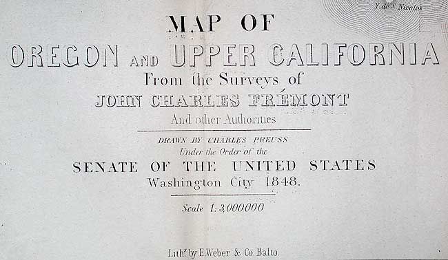
Publication: 30th Congress, 1st Session, Misc. Doc No. 148
Color: Hand Color
Size:
26.5 x 33 inches
67.3 x 83.8 cm
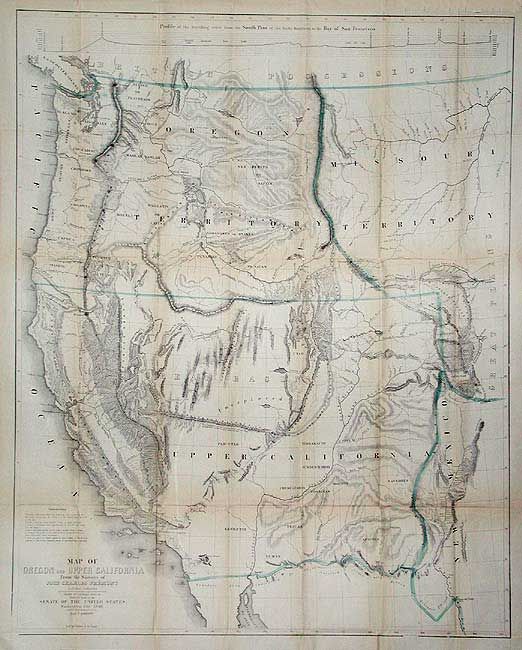
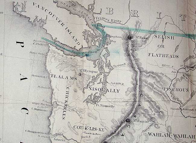
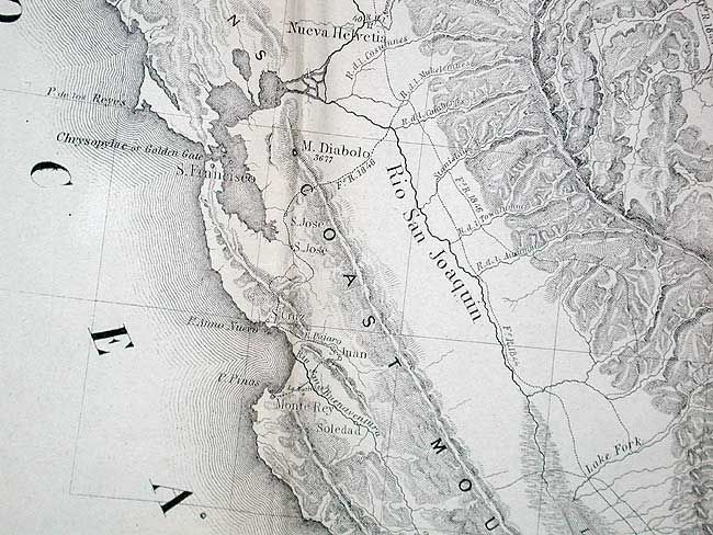
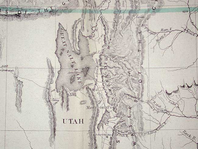
This map and the accompanying "Geographic Memoir" have been accorded two-fold importance in the development of the westward expansion. First, as a major contribution to the geographical and cartographical knowledge and secondly, as a historic documentation of Fremont's Third Expedition. The map is a remarkable graphic depiction of this expedition. Among the most interesting features is the appearance of the term Golden Gate at the entrance to Bay of San Francisco, the markings of the El Dorado or California Gold Fields, a hypothetical east-west mountain range near the 42nd parallel and a notation identifying the location of Mormon settlements. Complete with the Senate Document #148 "Geographical Memoir Upon Upper California, in Illustration of His Map of Oregon and California by John Charles Fremont", 40 pp.
References: Wheat (TMW) #559; Goss (NA) #177; Schwartz & Ehrenberg plt. 171.
Condition: B
Folding as issued, with wide margins. A very sound copy that is very good except for light toning along major folds.