Catalog Archive
Auction 104, Lot 168
"[Lot of 2] Map of the Middle States and Part of the Southern [together with] Map of the Chief Part of the Western States and Part of Virginia", Mitchell, Samuel Augustus
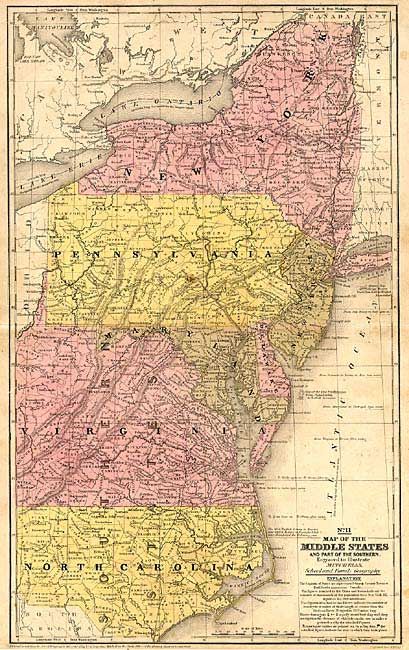
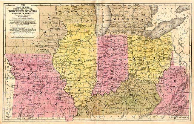
Subject: United States - Eastern
Period: 1839 (dated)
Publication: Mitchell's School and Family Geography
Color: Hand Color
Size:
16.6 x 10.5 inches
42.2 x 26.7 cm
Download High Resolution Image
(or just click on image to launch the Zoom viewer)
(or just click on image to launch the Zoom viewer)