Catalog Archive
Auction 104, Lot 114

"Map of North America", Thomas, Cowperthwait & Co.

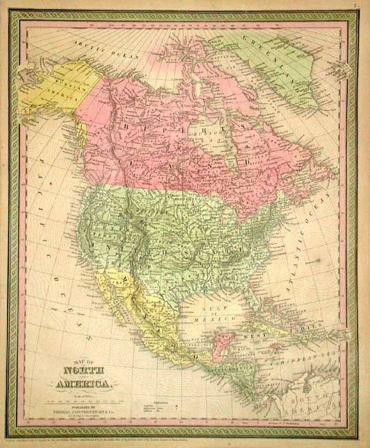
Subject: North America

Period: 1853 (published)

Publication: Mitchell's New Universal Atlas

Color: Hand Color

Size:
12.7 x 15.6 inches
32.3 x 39.6 cm
Download High Resolution Image
(or just click on image to launch the Zoom viewer)

Fine steel engraved map with early western territorial borders, pre-Gadsden boundary with Mexico and Alaska as Russian America. A large Missouri Territory extends from Indian Territory to Canada. Only Oregon, Utah and New Mexico Territories and the state of California are organized in the west. Good detail throughout including Mexico, Central America and British America. This is the early 1853 edition that does not include Washington Territory.

References:

Condition: B

A couple tiny spots and short tear just entering neatline, closed with archival tape.

Estimate: $150 - $200

Sold for: $100

Closed on 9/10/2003

Archived