Catalog Archive
Auction 103, Lot 92

"Carte de la partie Orientale de la Nouvelle France ou du Canada…", Bellin, Jacques Nicolas

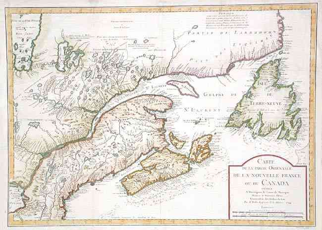
Subject: Colonial New England and Canada

Period: 1744 (dated)

Publication: Histoire et Description Generale de la Nouvelle France

Color: Hand Color

Size:
21.7 x 15.6 inches
55.1 x 39.6 cm
Download High Resolution Image
(or just click on image to launch the Zoom viewer)

This important map was used by Bellin for his subsequent map of the area and was copied by numerous other cartographers. It details the North American coastline from Boston (Baston) to the Coast of Labrador, and west to the James Bay. The entire St. Lawrence River in shown as it flows from Lake Ontario to the Gulf of St. Lawrence. Good detail along coast and interior to include mountains and watershed. Simple title cartouche. First state, engraved by Desbruslins.

References: Kershaw #684.

Condition: B

A few very light spots and one pinhole, else very good.

Estimate: $600 - $650

Sold for: $600

Closed on 6/11/2003

Archived