Subject: South Pacific
Period: 1860 (circa)
Publication: Geographie Commerciale et Industrielle
Color: Hand Color
Size:
33 x 23.2 inches
83.8 x 58.9 cm
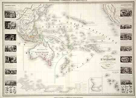
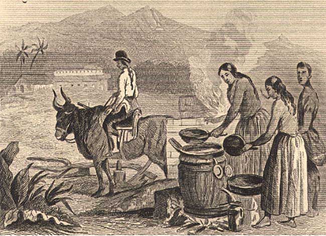
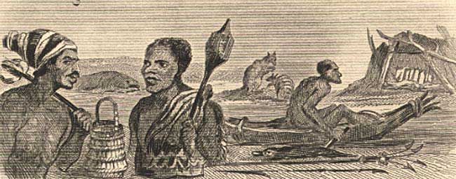
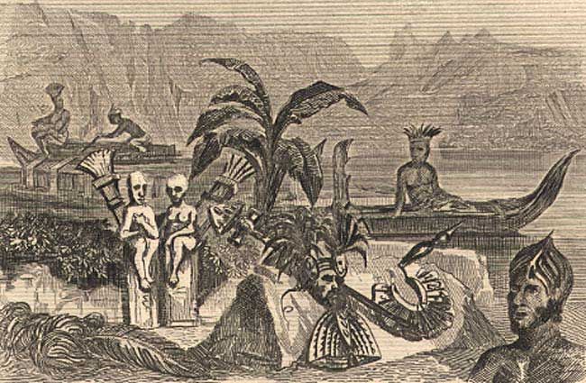
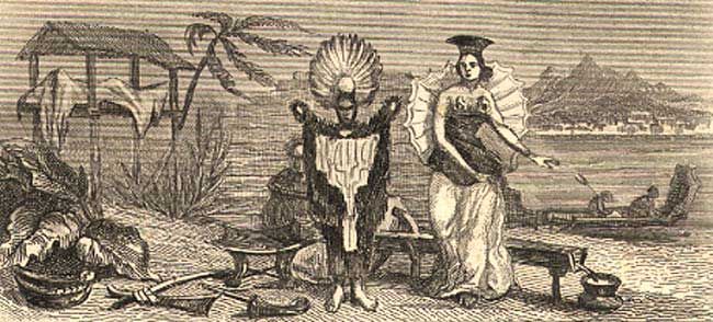
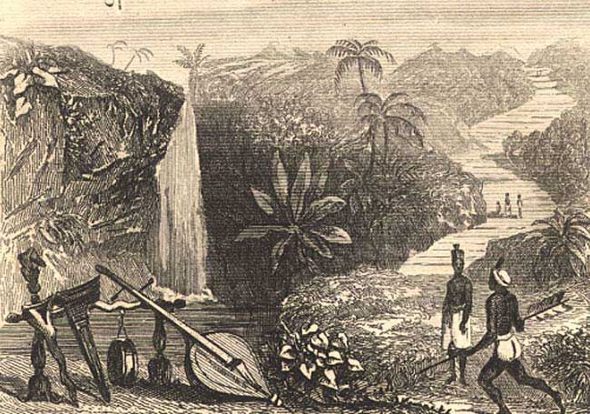
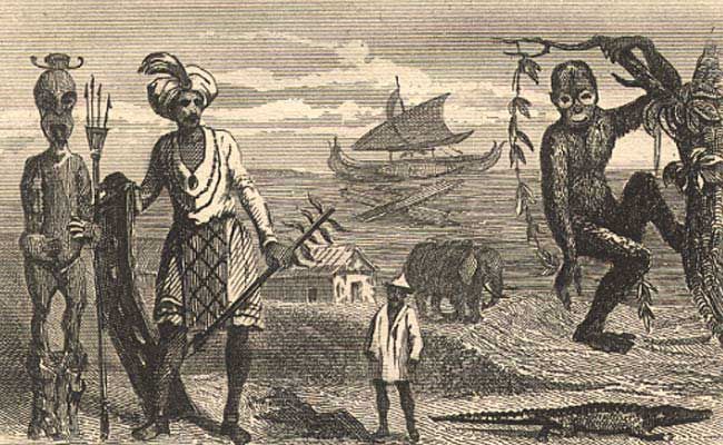
Very attractive and scarce map of the islands in the South Pacific. This map provides very good detail of Malaysia, Australia, New Zealand and Polynesia with a key to colonial and native holdings. Great detail and notations throughout, especially in Australia. Two insets, one being of the Marquises, the other of the findings from an expedition led by James Ross. Ross explored the South Pole under England's flag, and on January 12, 1841 planted a flag on what they claimed as Victoria Land. The volcanic Mt. Erebus was named after one of Ross' ships. Map is flanked with panels of fourteen finely engraved vignettes featuring the diverse people and exotic animals of the region.
References:
Condition: B
Small worm tracks in lower border, and fold separation in bottom blank margin. Otherwise fine and crisp with original outline color.