Subject: Cartographic Miscellany
Period: 1700 (circa)
Publication: Geographie Pratique contenant outres les Instructions. . .
Color: Black & White
Size:
5.3 x 7 inches
13.5 x 17.8 cm
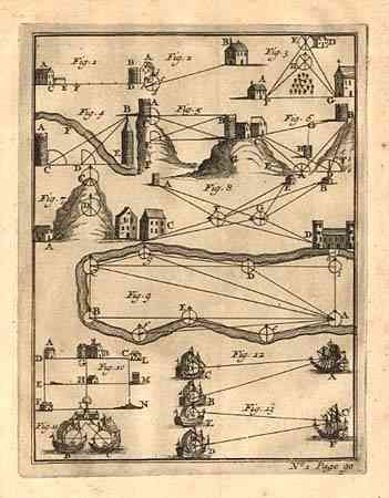
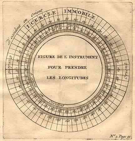
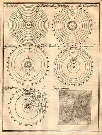
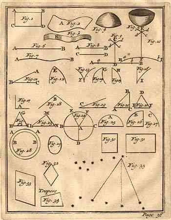
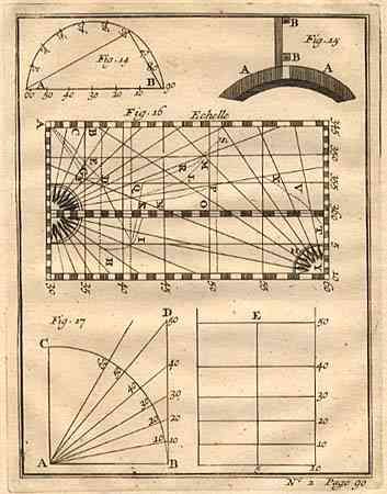
Interesting lot of copper-engraved diagrams relating to mathematics and cartography or surveying. 1) Untitled comparison of various theories on the solar system from Ptolemy to Copernicus, Tycho Brahe and Descartes. 2) Untitled geometric figures. 3) Untitled view focusing on the construction of rhumb lines for sea charts. 4) Very unusual little engraving with houses, ships and castles with triangulations of defense and fortification. 5) Figure de L'Instrument Pour Prendre Les Longitudes is a circular chart, a bit larger than the others illustrating longitude. (7.6 X 8").
References:
Condition: A
Few light, scattered spots of foxing, otherwise fine.