Subject: Italy
Period: 1780 (circa)
Publication: Atlas Encyclopedique
Color: Black & White
Size:
13.5 x 9.2 inches
34.3 x 23.4 cm
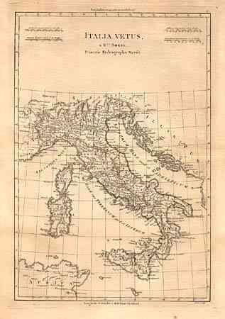
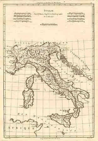
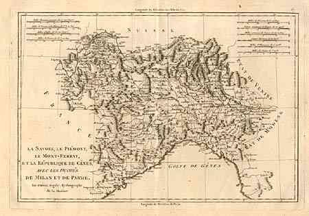
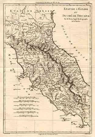
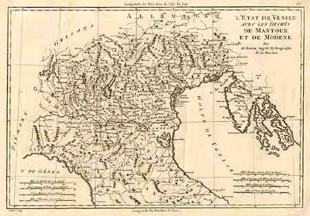
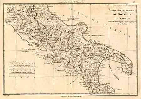
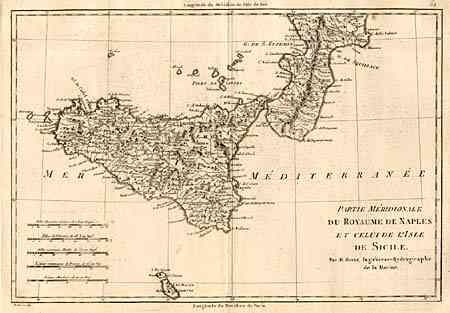
Very nice lot of maps of Italy and its regions. 1) Italie is a general map of Italy showing the borders with France, Switzerland, Turkey and the tip of Africa with Sardini and Corsica as well. 2) Italia Vetus shows the same regions as the previous map but with the appellations of the ancient world. 3) Partie Meridionale du Royaume de Naples et celui de l'Isle de Sicile depicts the very tip of Italy with the southern portion of Naples and the island of Sicily as well as Goza and Malta. 4) Partie Septentrionale du Royaume de Naples shows the southern portion of Italy with the northern portion of Naples from Orvieto to Otranto . 5) L'Etat de Venise avec les Duches de Mantoue et de Modene is a nicely detailed regional map of Venice, Mantua and Modena extending from Tirol and Tarvis in the north to Livorno and Ancona in the south. 6) Etat de l'Eglise et Duche de Toscane is a wonderful map of Tuscany and the State of the Church, which includes Rome. Shown is the region from Brescia to Venice in the north and Naples in the south. 7) la Savoie, le Piemont, Le Mont-Ferrat, et la Republique de Genes, avec les Duches de Milan et de Parme maps the northern portion of Italy that includes Savoy, the Piedmont, Montferrat, Genoa, Milan and Parma.
References:
Condition: A
Generally very good. Most with light damp stains in generous, blank margins. Couple of worn corners, some small, closed centerfold separations. Italia Vetus has a piece of old tape in upper left blank margin and few small spots of foxing.