Catalog Archive
Auction 103, Lot 393

"Partie Meridionale du Cercle de Haute Saxe", Robert de Vaugondy, Gilles

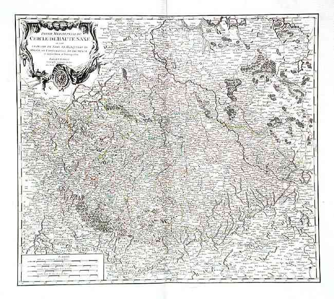
Subject: Germany and Czech Republic

Period: 1756 (dated)

Publication: Atlas Universel

Color: Hand Color

Size:
21.2 x 18.7 inches
53.8 x 47.5 cm
Download High Resolution Image
(or just click on image to launch the Zoom viewer)

Very attractive map with decorative cartouche and scale of miles. Many towns and villages located, with good information on topography. This map details a portion of Germany and the Czech Republic from Magdeburg to just past Berlin in the north and from Henneberg to Prague in the south. Decorative title cartouche. Printed on fine paper with good watermark and huge margins.

References: Pedley #265.

Condition: A

Light printer's crease, faint centerfold toning and insignificant foxing in margins.

Estimate: $150 - $200

Unsold

Closed on 6/11/2003

Archived