Catalog Archive
Auction 103, Lot 365

"Tabula Geographica Campaniae specialis in suas sic dictus Electiones accurate distincta edita...", Homann Heirs
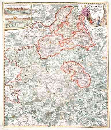
Subject: France

Period: 1750 (circa)

Publication:

Color: Hand Color

Size:
19.2 x 22.5 inches
48.8 x 57.2 cm
Download High Resolution Image
(or just click on image to launch the Zoom viewer)

Graphic map of the Champagne region, extending from Aisne River and Rocroix in the north, to St. Sauveur and Champlitte in the south. Centered on Champenoise and Chaalons. Two town views of Troyes and Reims decorate this map as well as a charming (fully colored) cartouche.

References:

Condition: A

Dark impression on thick paper. Clean fold separations just entering border on either side, still very good.

Estimate: $220 - $275

Sold for: $160

Closed on 6/11/2003

Archived