Catalog Archive
Auction 103, Lot 333
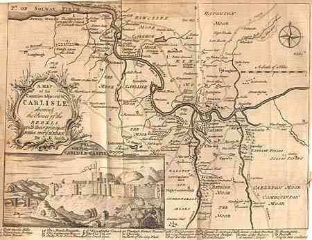
"A Map of the Countries Adjacent to Carlisle shewing the Route of the Rebels…", Anon.
Subject: Ireland
Period: 1749 (published)
Publication:
Color: Black & White
Size:
10.4 x 8.5 inches
26.4 x 21.6 cm
Download High Resolution Image
(or just click on image to launch the Zoom viewer)
(or just click on image to launch the Zoom viewer)