Catalog Archive
Auction 103, Lot 328

"Cary's Reduction of his Large Map of England and Wales with part of Scotland…", Cary, John

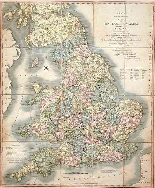
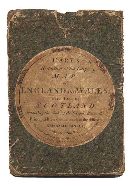
Subject: England & Wales

Period: 1821 (dated)

Publication:

Color: Hand Color

Size:
24.5 x 29.5 inches
62.2 x 74.9 cm
Download High Resolution Image
(or just click on image to launch the Zoom viewer)

Dissected and linen-backed folding map filled with detail of the counties, market towns, roads, post routes and canals. Folding into original marbled-paper covered slipcase with original label.

References:

Condition: B

Map in generally good condition with some light marginal soil. Some small separations of linen at junctures of segments. Covers worn. Brown ink scribbling on label and name of a previous owner on map verso.

Estimate: $500 - $600

Unsold

Closed on 6/11/2003

Archived