Catalog Archive
Auction 103, Lot 305
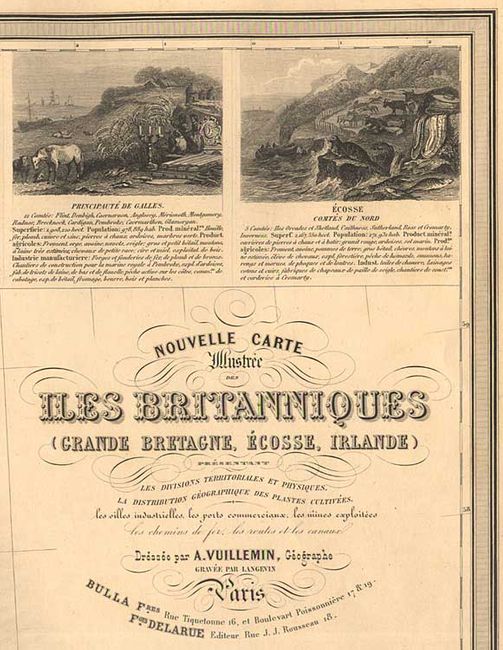
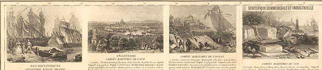
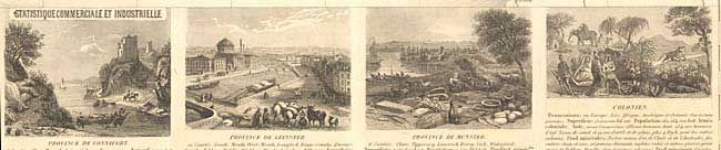
"Nouvelle Carte Illustree Iles des Britanniques (Grande Bretagne, Ecosse, Irlande)…", Vuillemin, Alexander A.
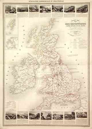
Subject: Britain
Period: 1860 (circa)
Publication: Geographie Commerciale et Industrielle
Color: Hand Color
Size:
23.5 x 33 inches
59.7 x 83.8 cm
Download High Resolution Image
(or just click on image to launch the Zoom viewer)
(or just click on image to launch the Zoom viewer)