Catalog Archive
Auction 103, Lot 293
"L'Allemagne, la Boheme, et la Hongrie; avec une partie de la Pologne", Bonne, Rigobert
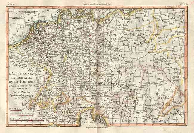
Subject: Central Europe
Period: 1779 (circa)
Publication: Atlas de toutes les parties connues du globe terrestre
Color: Hand Color
Size:
12.5 x 8.4 inches
31.8 x 21.3 cm
Download High Resolution Image
(or just click on image to launch the Zoom viewer)
(or just click on image to launch the Zoom viewer)