Catalog Archive
Auction 103, Lot 26

"Carte Physique de l'Ocean ou l'on Voit des Grandes Chaines de Montagnes qui traversent les Continents d'Europe, d'Afrique et d'Amerique…", Buache, Philip

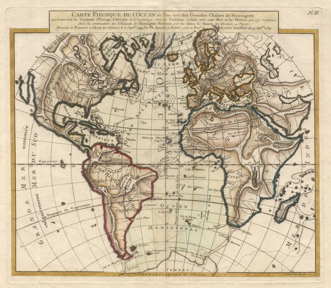
Subject: Atlantic Ocean

Period: 1754 (dated)

Publication:

Color: Hand Color

Size:
13.6 x 11.7 inches
34.5 x 29.7 cm
Download High Resolution Image
(or just click on image to launch the Zoom viewer)

Unusual world map that was issued in a series by Philippe Buache to illustrate his theory of the continuity of mountain chains on land and under the sea. Detail within continents is limited to watershed and mountains. Title in a block above map. This map has never appeared in the Jolly/Rosenthal Price Guide and we find no reference for it.

References:

Condition: B

On fine paper with wide margins and numerous watermarks. Finely colored. A few slight spots and trace of toning along centerfold, else very good.

Estimate: $500 - $600

Sold for: $400

Closed on 6/11/2003

Archived