Catalog Archive
Auction 103, Lot 202
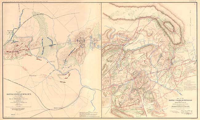
"Plan of the Battle-Field At Bull Run [on sheet with] Map of the Battle-Fields Of Manassas", U.S. Government
Subject: Virginia
Period: 1891-95 (published)
Publication: Atlas to Accompany the Official Records of the Union and Confederate Armies…
Color: Hand Color
Size:
27 x 16 inches
68.6 x 40.6 cm
Download High Resolution Image
(or just click on image to launch the Zoom viewer)
(or just click on image to launch the Zoom viewer)