Subject: Atlases
Period: 1831 (circa)
Publication:
Color: Hand Color
Size:
9.5 x 11.5 inches
24.1 x 29.2 cm
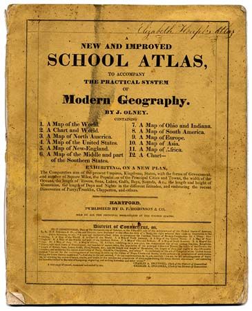
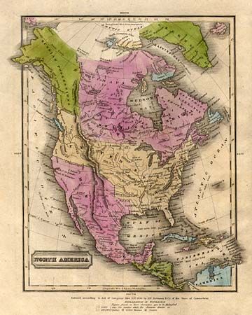
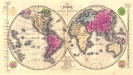
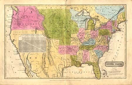
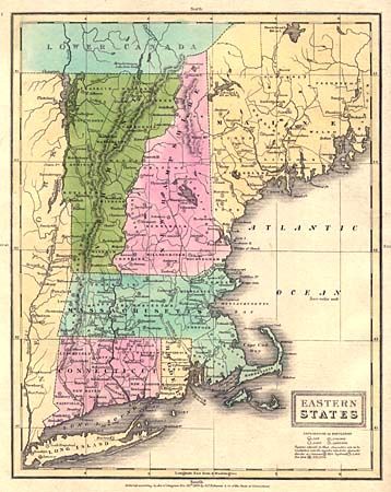
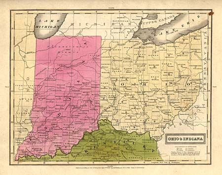
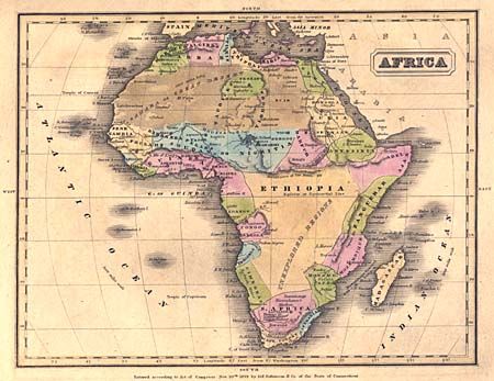
Nice and very early example of Olneys' atlas complete with eleven well engraved and hand colored maps dated 1828-30. The atlas is not dated, but Missouri encompasses the region of Montana, Wyoming, Kansas, and the Dakotas and extends to Arkansas and North West Territories. Arkansas territory extends westward to Texas in Mexico. The United States extends into present-day British Columbia. Maps included are: world in hemispheres (dp), world with thematic chart of religions, North America, United States, Eastern States, Middle States and Part of the Southern States, Ohio & Indiana, South America, Europe, Asia, and Africa. Plus a thematic chart showing the comparative size, population and forms of government with four engraved vignettes including Morocco, Constantinople and New York. Printed paper covers. Published by D.F. Robinson & Company.
References:
Condition: B
Covers soiled with flyspecks. Spine split, contents tight. Occasional manuscript on versos in beautiful hand. One ink notation on map face, away from image. Maps are very good to good, with scattered foxing & some splits. Owners name on cover.