Catalog Archive
Auction 102, Lot 392

"S.R.I. Circulus Rhenanus Inferior sive Electorum Rheni…", Homann, Johann Baptist
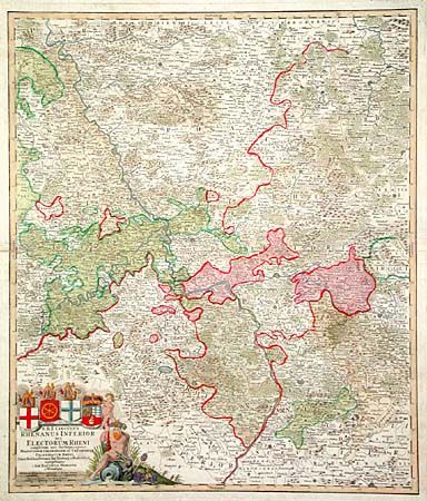
Subject: Germany

Period: 1730 (circa)

Publication: Maior Atlas Acholaticus

Color: Hand Color

Size:
19.1 x 22.5 inches
48.5 x 57.2 cm
Download High Resolution Image
(or just click on image to launch the Zoom viewer)

Highly detailed copper engraved map of central Germany centered on the region of Frankfort and Nassaw. Map extends to include the walled cities of Wesel, Munden, Stutgart, Sar Louis, Heidelberg, Aken, and Mulhein. Nice title cartouche surrounded by figures and the crest of Trier, Maintz, Coln and Pfaltz.

References:

Condition: B

Old paper repair paper edge along fold, else very good.

Estimate: $180 - $220

Sold for: $120

Closed on 3/5/2003

Archived