Catalog Archive
Auction 102, Lot 352

"London (West), London (East)", Letts & Son
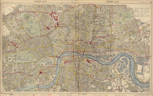
Subject: England

Period: 1890 (circa)

Publication: Popular Atlas

Color: Printed Color

Size:
26.2 x 15.8 inches
66.5 x 40.1 cm
Download High Resolution Image
(or just click on image to launch the Zoom viewer)

Nice, lithographed plan of London with exacting detail of the roads, buildings, railways, post offices, parks, etc. Tables of population to 1881. The map covers from Kilburn to Hackneywick in the north and from Chelsea to Deptford in the south.

References:

Condition: B

Centerfold separation entering into small tear 1/2 inch into map.

Estimate: $60 - $80

Sold for: $0

Closed on 3/5/2003

Archived