Catalog Archive
Auction 102, Lot 330

"Borussia integra accuratiori stylo delineata", Weigel, Christopher

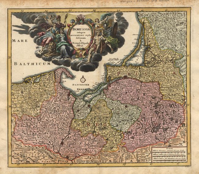
Subject: Northeastern Europe

Period: 1717 (published)

Publication:

Color: Hand Color

Size:
14.6 x 12.6 inches
37.1 x 32 cm
Download High Resolution Image
(or just click on image to launch the Zoom viewer)

Superb map of the Prussian Empire, which is present-day Poland, Lithuania and the Russian enclave of Kaliningrad (here Konigsberg). The entire Baltic sea is filled with a fabulous title cartouche surrounded by figures in a cloud background. The map is filled with detail, both political and topographical.

References:

Condition: B

Old paper repairs on verso, including one on a tear extending about 2" into the map at bottom left of centerfold.

Estimate: $350 - $400

Sold for: $250

Closed on 3/5/2003

Archived