Catalog Archive
Auction 102, Lot 203
"The New Map of Mississippi With Its Roads & Distances", Mitchell, Samuel Augustus
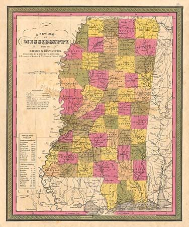
Subject: Mississippi
Period: 1847 (dated)
Publication: Mitchell's New Universal Atlas
Color: Hand Color
Size:
11.4 x 13.8 inches
29 x 35.1 cm
Download High Resolution Image
(or just click on image to launch the Zoom viewer)
(or just click on image to launch the Zoom viewer)