Catalog Archive
Auction 102, Lot 192
"Dakota Territory Department of the Interior General Land Office Oct. 2nd, 1866", General Land Office
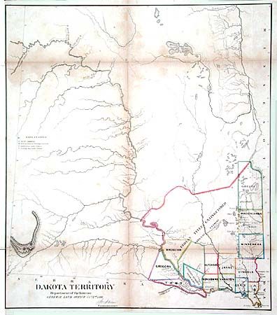
Subject: Dakota
Period: 1866 (dated)
Publication:
Color: Hand Color
Size:
20.5 x 23.5 inches
52.1 x 59.7 cm
Download High Resolution Image
(or just click on image to launch the Zoom viewer)
(or just click on image to launch the Zoom viewer)