Catalog Archive
Auction 102, Lot 130

"Province of Canada (Eastern Sheet) New Brunswick, Nova Scotia, Prince Edward Id. Cape Breton Id. and Newfoundland", Johnston, Keith
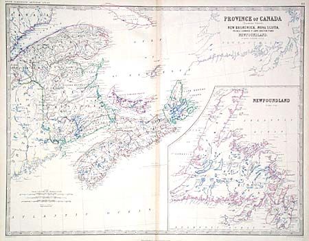
Subject: Canada

Period: 1880 (circa)

Publication: General Atlas

Color: Hand Color

Size:
22.5 x 17.2 inches
57.2 x 43.7 cm
Download High Resolution Image
(or just click on image to launch the Zoom viewer)

A very detailed, large map that includes New Brunswick, Prince Edward Island, Nova Scotia, Cape Breton, Anticosti Island and Newfoundland in inset. Of particular interest is the appearance of the Submarine Telegraph from Cape Breton to Newfoundland. This was laid in 1855 by the New York, Newfoundland, and London Telegraph Co.

References:

Condition: A

Delicately engraved and colored on fine, study paper. Minor centerfold toning.

Estimate: $70 - $90

Sold for: $40

Closed on 3/5/2003

Archived