Subject: Atlases
Period: 1904 (dated)
Publication:
Color: Printed Color
Size:
15.5 x 19 inches
39.4 x 48.3 cm
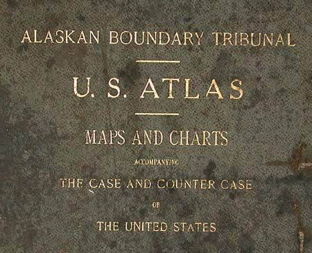
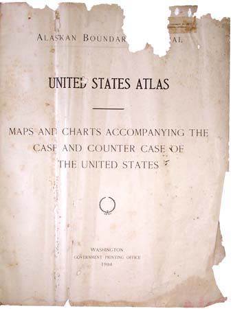
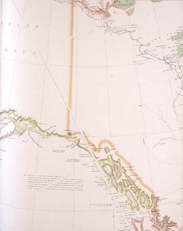
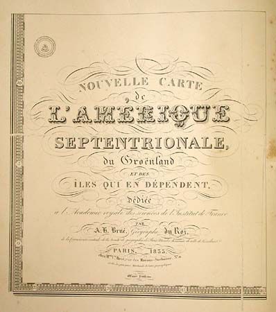
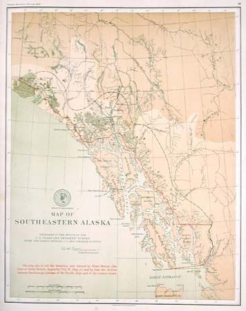
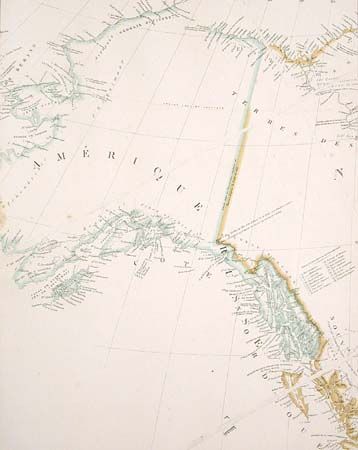
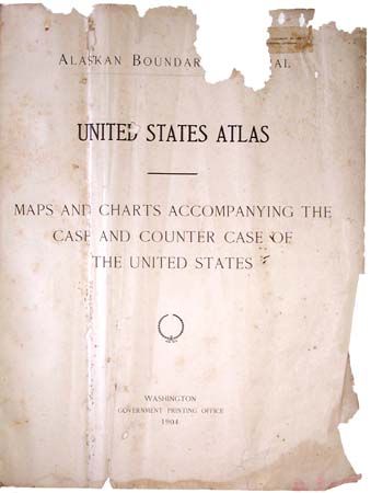
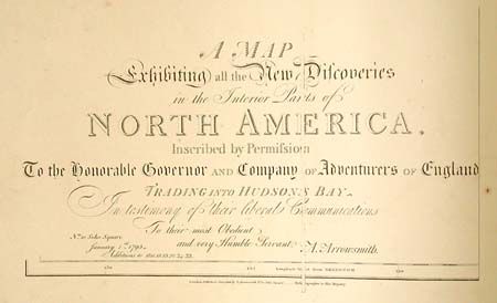
This atlas accompanied the case of the United States before the Tribunal in London under the provisions of the treaty between the U.S. and Great Britain, Jan. 24, 1903. Contains 25 maps of Alaska. These maps include reproductions of historical maps from noted cartographers such as Arrowsmith, Tanner, Brue, and Vancouver, as well as new maps prepared by the U.S. Coast and Geodetic Survey. The Alaska boundary dispute of 1903 concerned the southernmost portion of Alaska and its border with Canada. Although seemingly insignificant today, it was a hotly debated issue in its time. A fascinating historical record. Cloth with gilt titling on cover.
References:
Condition: D
The maps are generally good to very good with a few having some staining or foxing. Covers are detached and damaged. Blank endpapers virtually destroyed by insects. Title page very rough by repairable. Needs conservation and re-binding.