Catalog Archive
Auction 101, Lot 570

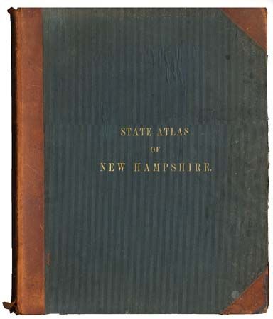
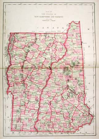
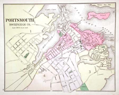
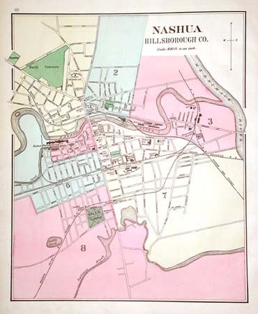
"Atlas of the State of New Hampshire Including Statistics and Descriptions…", Walling, Henry F.

Subject: Atlases

Period: 1877 (published)

Publication: Comstock & Cline

Color: Hand Color

Size:
14.5 x 17.8 inches
36.8 x 45.2 cm
Download High Resolution Image
(or just click on image to launch the Zoom viewer)

A nice and complete county atlas. Thirty-four full-color maps, many double-page (1 fold-out), of the counties and cities, plus maps of the United States, superb geological and political maps of New Hampshire and Vermont, and fine map of New England - all double-page. Some county and city maps printed back-to-back, but most blank on verso. Folio, bound in quarter leather, green cloth boards, gilt-embossed title on front board. 86 pages + business directory.

References:

Condition: B

Spine torn, covers rubbed and spotted. Contents and maps very good to fine condition. Foldout map of Coos County torn with archival tape repair. Couple of maps loose from binding.

Estimate: $400 - $450

Sold for: $275

Closed on 12/4/2002

Archived