Catalog Archive
Auction 101, Lot 268
"A Correct Chart of the Coast of Portugal & Barbaria, from C. Finisterra to C. Baydor, With the Canarie Isles", Mount & Page
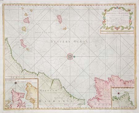
Subject: Atlantic - Canary Islands
Period: 1770 (circa)
Publication:
Color: Hand Color
Size:
23.5 x 18.5 inches
59.7 x 47 cm
Download High Resolution Image
(or just click on image to launch the Zoom viewer)
(or just click on image to launch the Zoom viewer)