Catalog Archive
Auction 101, Lot 240
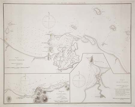
"The Bay of Bacelona [on sheet with] Plan of Puerto Cabello [and] The Road of La Guayra, the Port of Caracas", British Admiralty
Subject: South America
Period: 1871 (dated)
Publication: Hydrographical Office
Color: Black & White
Size:
23 x 18 inches
58.4 x 45.7 cm
Download High Resolution Image
(or just click on image to launch the Zoom viewer)
(or just click on image to launch the Zoom viewer)