Catalog Archive
Auction 101, Lot 209

"Carte de l'Empire du Mexique Pour l'Histoire Generale des Voyages", Bellin, Jacques Nicolas
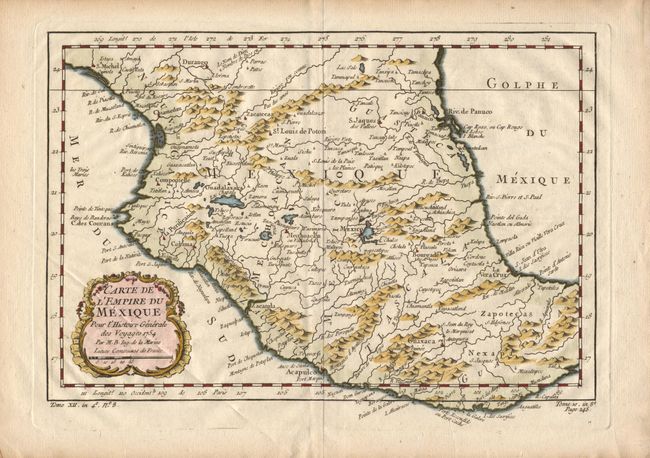
Subject: Mexico

Period: 1754 (dated)

Publication:

Color: Hand Color

Size:
11.5 x 8 inches
29.2 x 20.3 cm
Download High Resolution Image
(or just click on image to launch the Zoom viewer)

Delicately engraved map of central Mexico that reaches from Durango in the north as far south as the Isthmus of Tehuantepec. Mexico City is shown located on the shores of its large lake. The huge Lac Chapala is located south of Guadalajara. Decorative rococo-style title cartouche.

References:

Condition: A

Good impression and coloring on fine hand laid paper. Soft crease across corner and cartouche.

Estimate: $50 - $70

Sold for: $40

Closed on 12/4/2002

Archived