Catalog Archive
Auction 100, Lot 323

"Tabula Castelli ad Sandslitam, qua simul inundati agri…", Blaeu, Willem
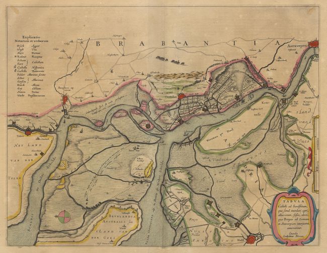
Subject: Belgium

Period: 1645 (circa)

Publication:

Color: Hand Color

Size:
19.5 x 15 inches
49.5 x 38.1 cm
Download High Resolution Image
(or just click on image to launch the Zoom viewer)

Superb map of the region between Antwerp, Bergen Zoom and Hulst with east oriented at the top. The map illustrates the Protestant Dutch blockade of Antwerp in its struggle against Spanish (Catholic) domination. Refugees are shown fleeing Antwerp, while armies and naval fleets organize for battle. Decorative title cartouche and scale of miles. French text on verso.

References:

Condition: B

Lovely original color. A bit of minor discoloration.

Estimate: $250 - $300

Sold for: $350

Closed on 9/12/2002

Archived