Catalog Archive
Auction 100, Lot 137

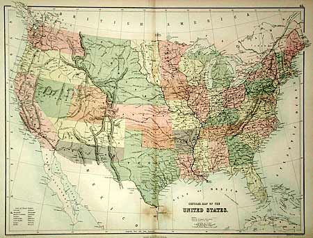
"General Map of the United States", Black, Adam & Charles

Subject: United States.

Period: 1862 (circa)

Publication: Black's General Atlas

Color: Printed Color

Size:
21.5 x 16.3 inches
54.6 x 41.4 cm
Download High Resolution Image
(or just click on image to launch the Zoom viewer)

Early territorial configurations including Washington and Oregon extending to the Continental Divide, huge Nebraska extends to the Canadian border, a large Utah and Kansas, and an early Dakota configuration. Features the Confederate Territory of Arizona in southern New Mexico Territory extending from Texas to California. Filled with many details including forts, railroads and wagon roads. Good watershed, and limited topographical detail.

References:

Condition: B

Small area of staining in unengraved and uncolored Mexico.

Estimate: $60 - $80

Sold for: $160

Closed on 9/12/2002

Archived